What is a boat chart plotter and why do I need one?
A boat chart plotter is an electronic navigation system that combines a GPS receiver and the function of displaying an electronic chart/map, enabling the ship owner to continuously monitor the position and movement of his handicrafts relative to the surrounding physical environment on and under water.
With the help of an integrated processor that integrates GPS data and electronic chart (accuracy affects the efficiency of the system), the chartplotter can accurately locate the position of the ship, and can use GPS data to calculate the ship's speed and direction, as well as determine the time and distance purpose The distance to the ground or the next waypoint. It displays all this data in real time so that the navigator knows exactly where his ship is and where it is heading, and constantly updates its position relative to the surrounding physical environment.
Ship owners often use chartplotters to pre-load the route, which can then be edited at any time before or during the voyage. Some chartplotters allow the navigator to store hundreds of routes at once for future use. Each route is composed of multiple waypoints to aid navigation and avoid dangers such as shallow rocks or reefs represented by longitude and latitude references, and are depicted on the screen to visually present the surrounding environment of the ship. Each waypoint has a numbered position. As the yacht passes through each waypoint, the system will display the distance traveled and the heading to the next waypoint. It will also show whether the vessel has deviated from the course and provide information to correct the position to reach the next waypoint.
Through the combination of GPS function and embedded chart, chartplotter has become an indispensable navigation tool, its purchase price is relatively low, and it is easy to install and use on any type of aircraft.
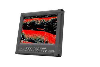
Today's chartplotters are far from traditional paper chartplotters. They usually have a series of additional functions, including manual falling water markers, zoom functions, and so on. However, manufacturers continue to recommend that ship owners continue to carry paper charts in important areas in the event of a power outage.
How Does a boat chart plotter Work?
A marine boat chart plotter receives information from the GPS antenna fitted to the ship. The signals from several satellites are correlated to achieve the best location accuracy. The current Latitude and Longitude is displayed on the chart plotter at any time as well as a dynamic icon of the current ships position.